France time zones
Mauritania time zones
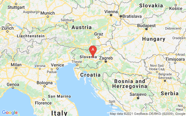
Austria time zones
Gambia weather forecast
South Georgia The South Sandwich Islands weather forecast
Kuwait weather forecast
Spratly Islands calling codes
Australia calling codes
Europa Island calling codes