Gabon time zones
Serbia time zones
Canada time zones
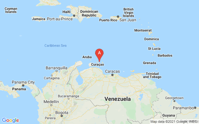
Venezuela weather forecast
Thailand weather forecast
Mayotte weather forecast
Micronesia calling codes
Togo calling codes
Reunion calling codes